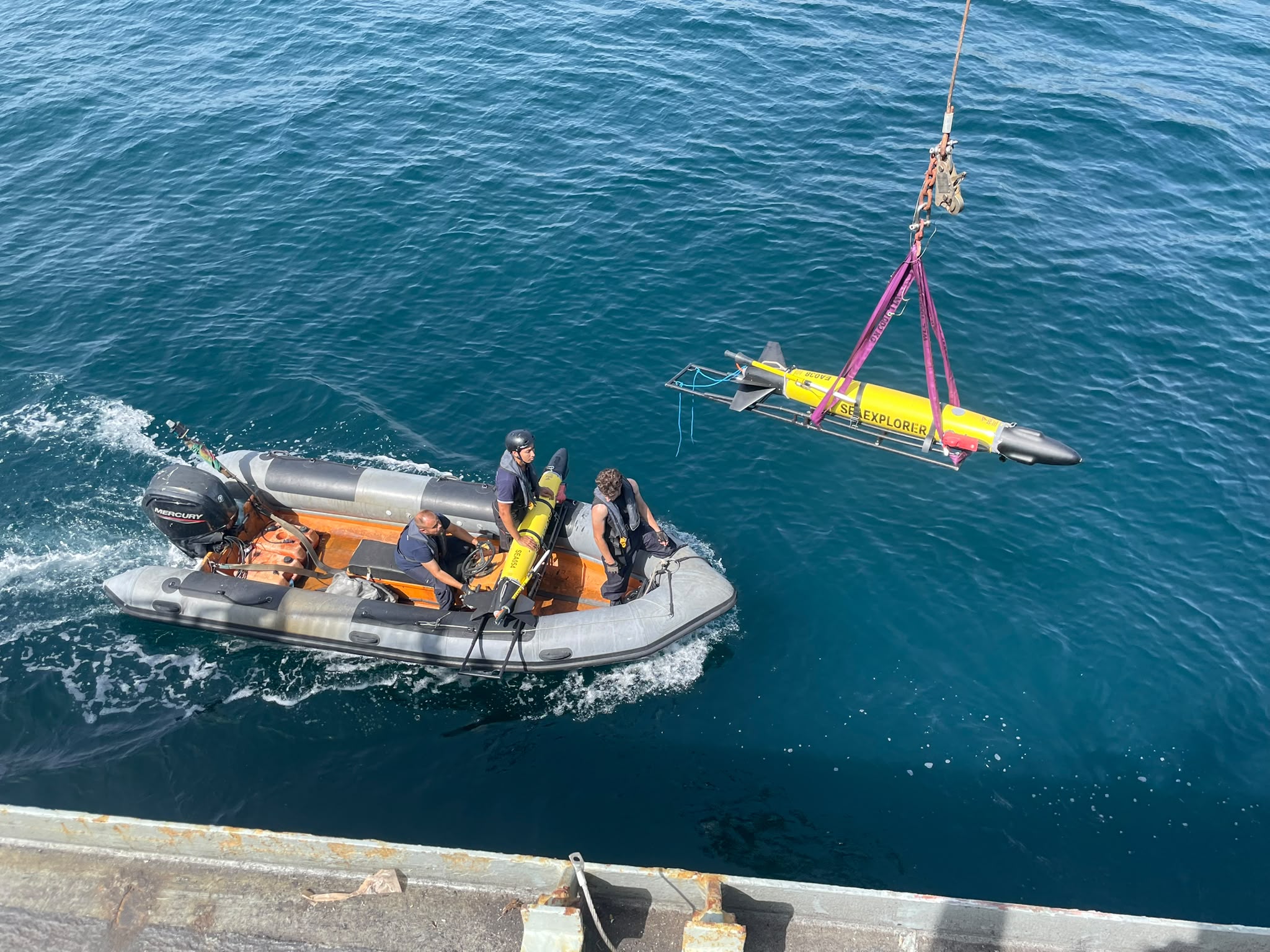
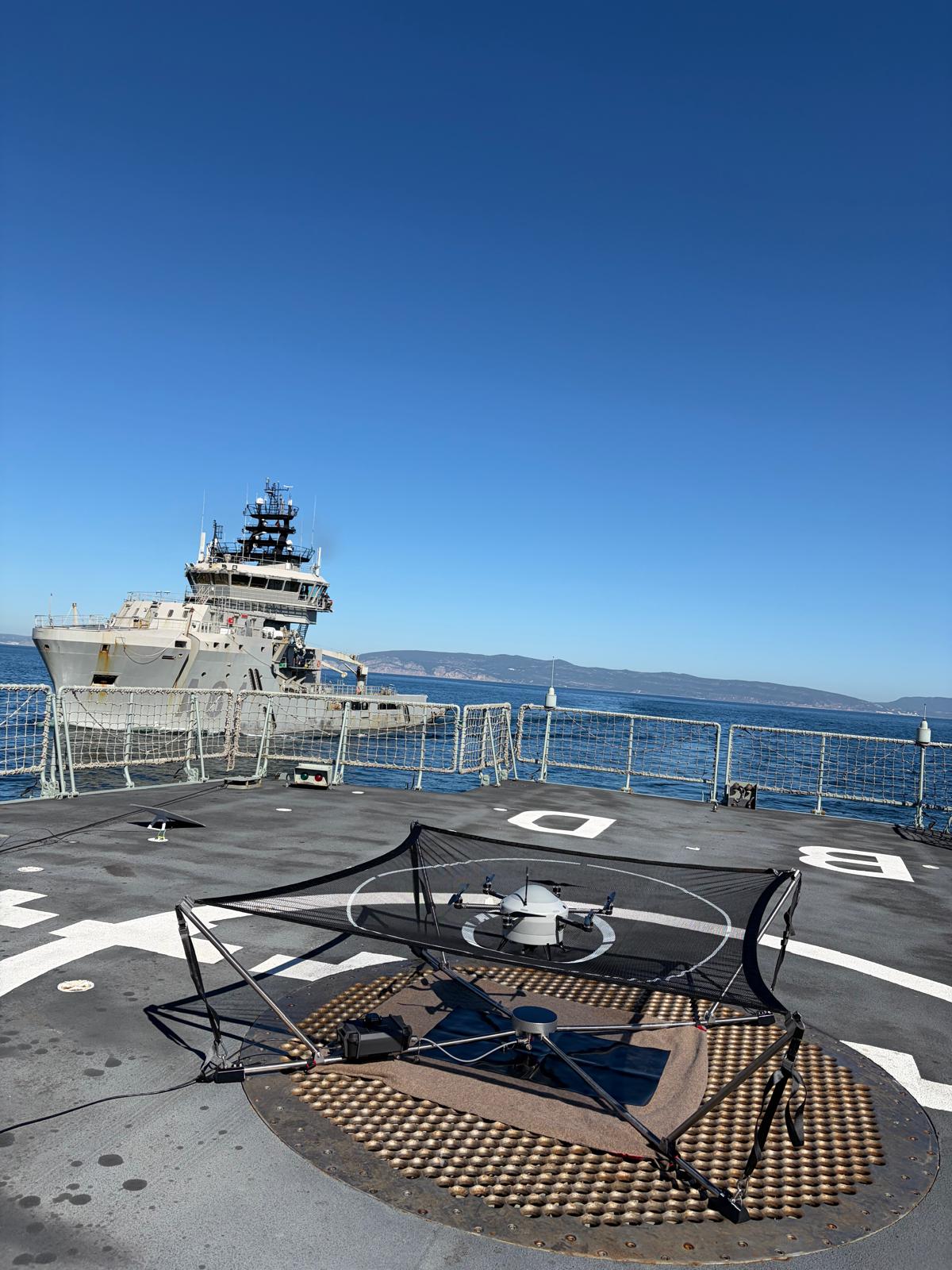
Over the past three weeks, REPMUS 2026 brought together more than 500 capabilities, representing 36 Nations, the European Union and NATO, in the world's largest operational experimentation exercise for Maritime Unmanned Systems and emerging maritime technologies.
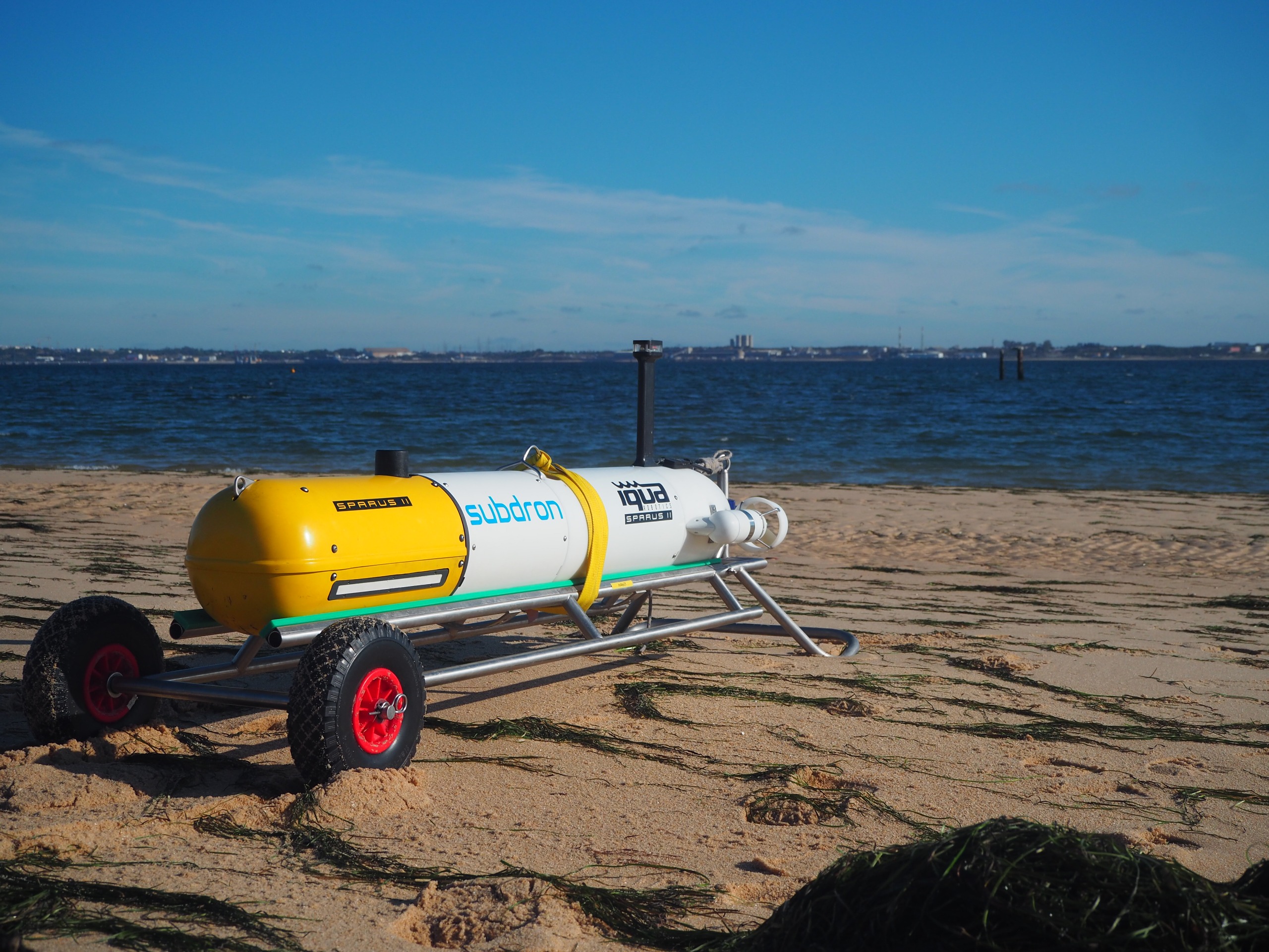
The NATO Maritime GEOMETOC Centre of Excellence supported the exercise through Rapid Environmental Assessment (REA), working along with 79 capabilities from 11 nations, integrating environmental information, ocean modelling, hydrographic data, through the use of Maritime Unmanned Systems and operational users to provide relevant support across multiple operational areas.
A key achievement was integrating Maritime ATLAS (the Maritime Applied Toolkit for Layered Analysis and Simulation, which is under development) into the COE’s REA Data Hub. This enhanced the fusion, exploitation and dissemination of environmental and acoustic data throughout the exercise.
REPMUS 2026 also demonstrated the value of cooperation between military, industry and academic partners, including organizations such as North.io, the Portuguese Navy through the Hydrographic Institute, Kongsberg Geospatial and AEREUS, and many other contributing entities working together to advance innovation and interoperability.
As the exercise concludes, the lessons, partnerships and technologies developed during these weeks will continue to strengthen NATO's ability to transform environmental information into operational advantage.
Thank you to all nations, military units, industry and academic partners who contributed to the success of REPMUS 2026.